Polygarden
What does it mean to (re)discover a place in our time?

By the multiplication or removal of one true solid ground (as a metaphor for a representation of “the” reality), we face an infinite free fall into groundless multi-version realities of what we know as a single real object/space.
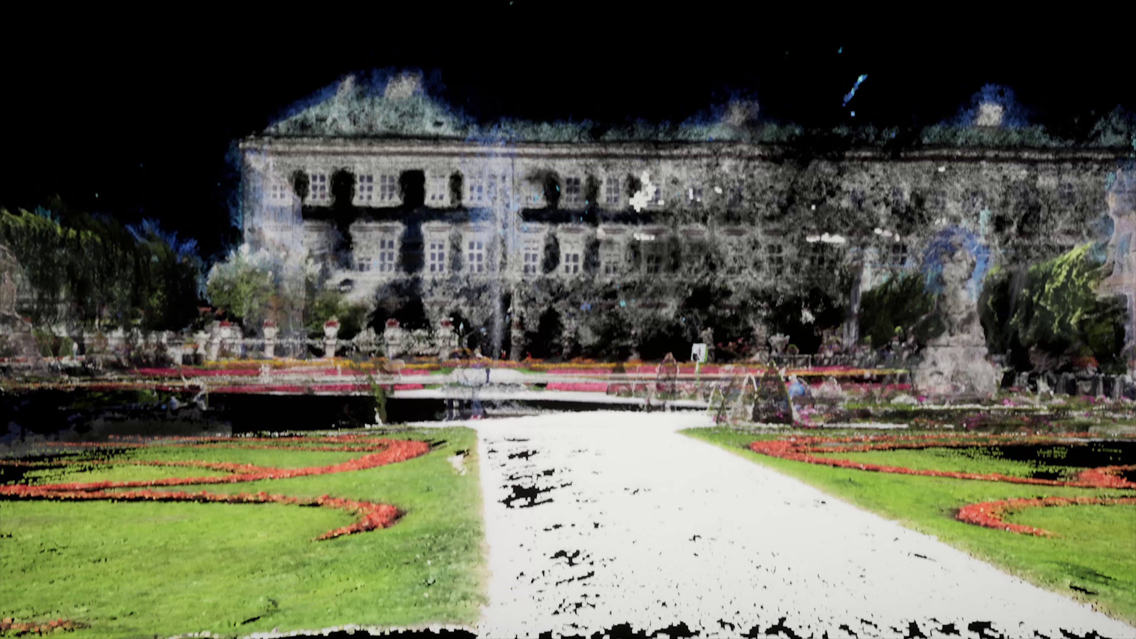
Therefore this piece has aimed to investigate different representations of the same subject, in this case, the Mirabellgarten&Palace-Salzburg, and unfold some of their visual or perceptual qualities in the form of a video assemblage :
POLYGARDEN
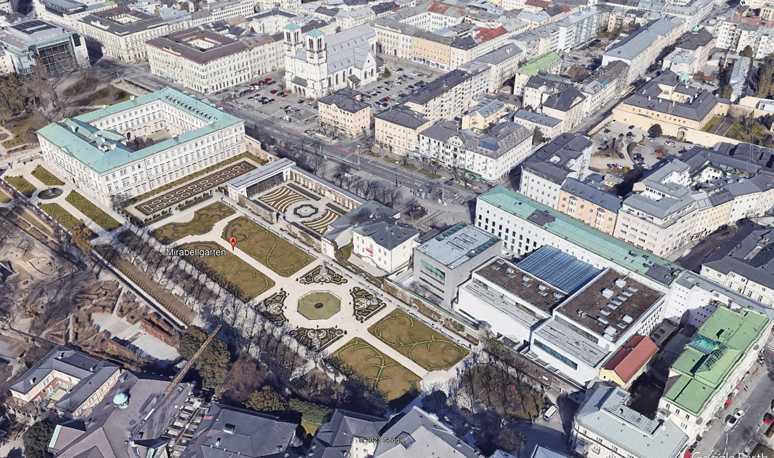
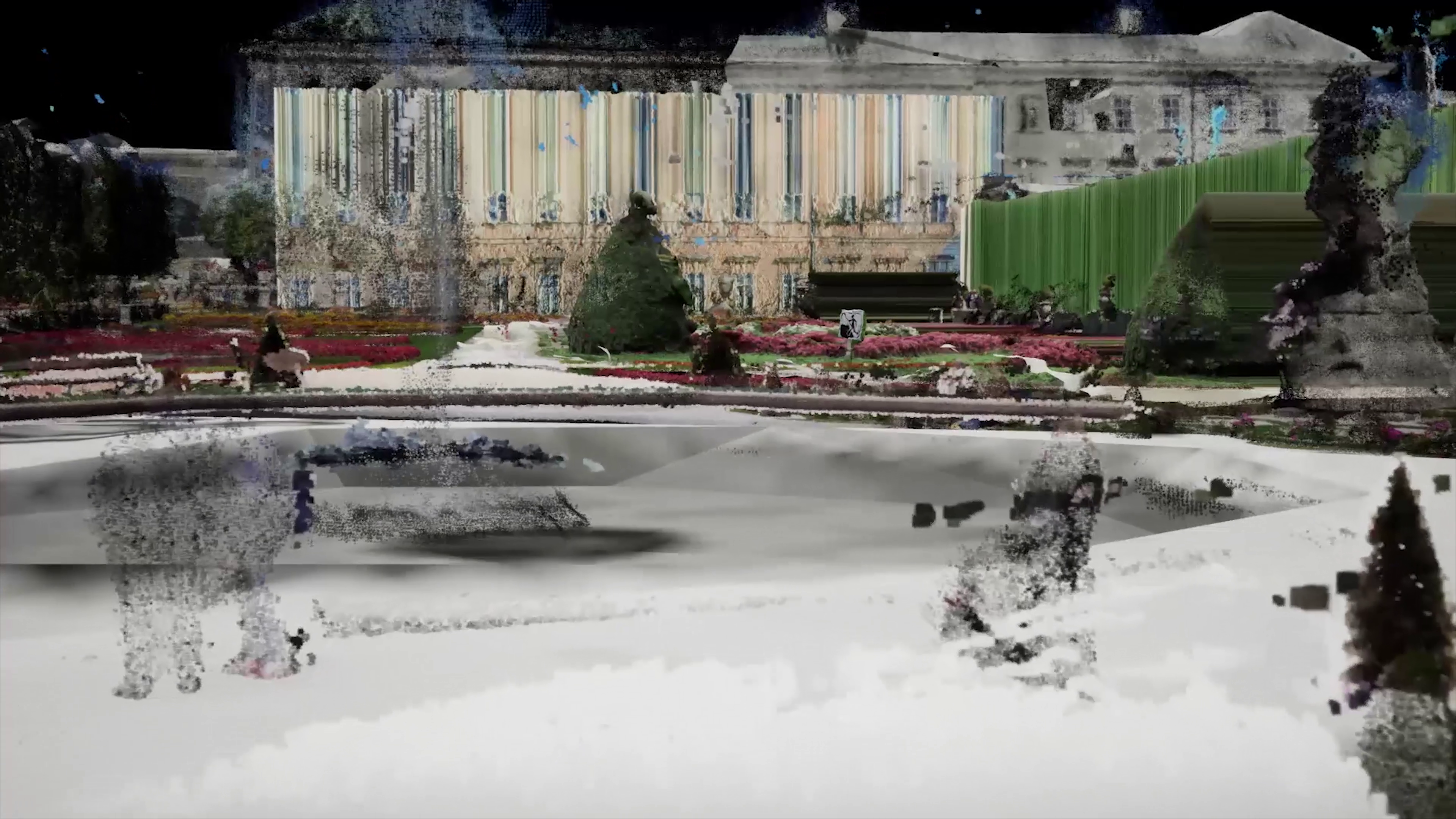
00:05 – 00:38 Google Earth from above
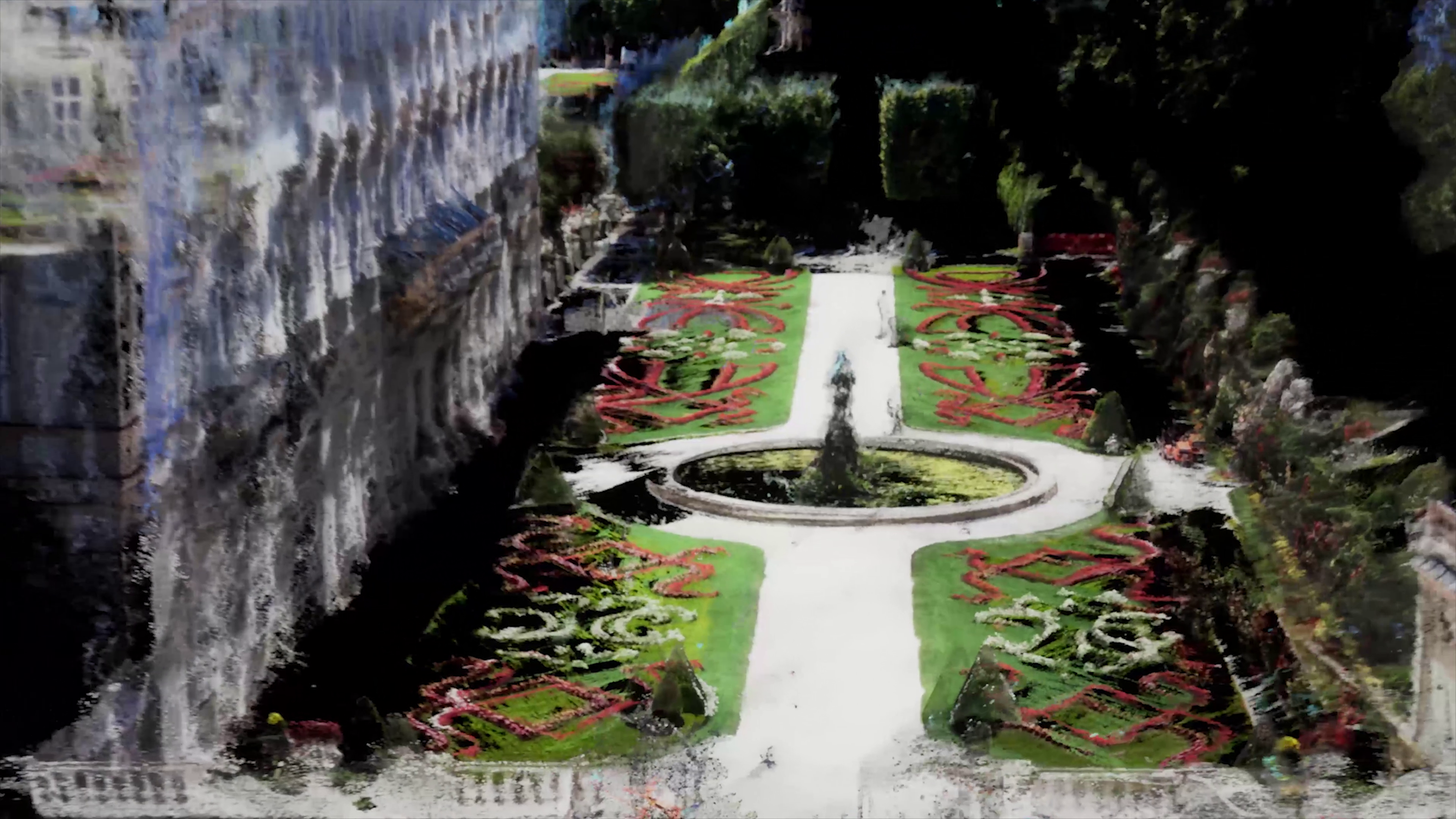
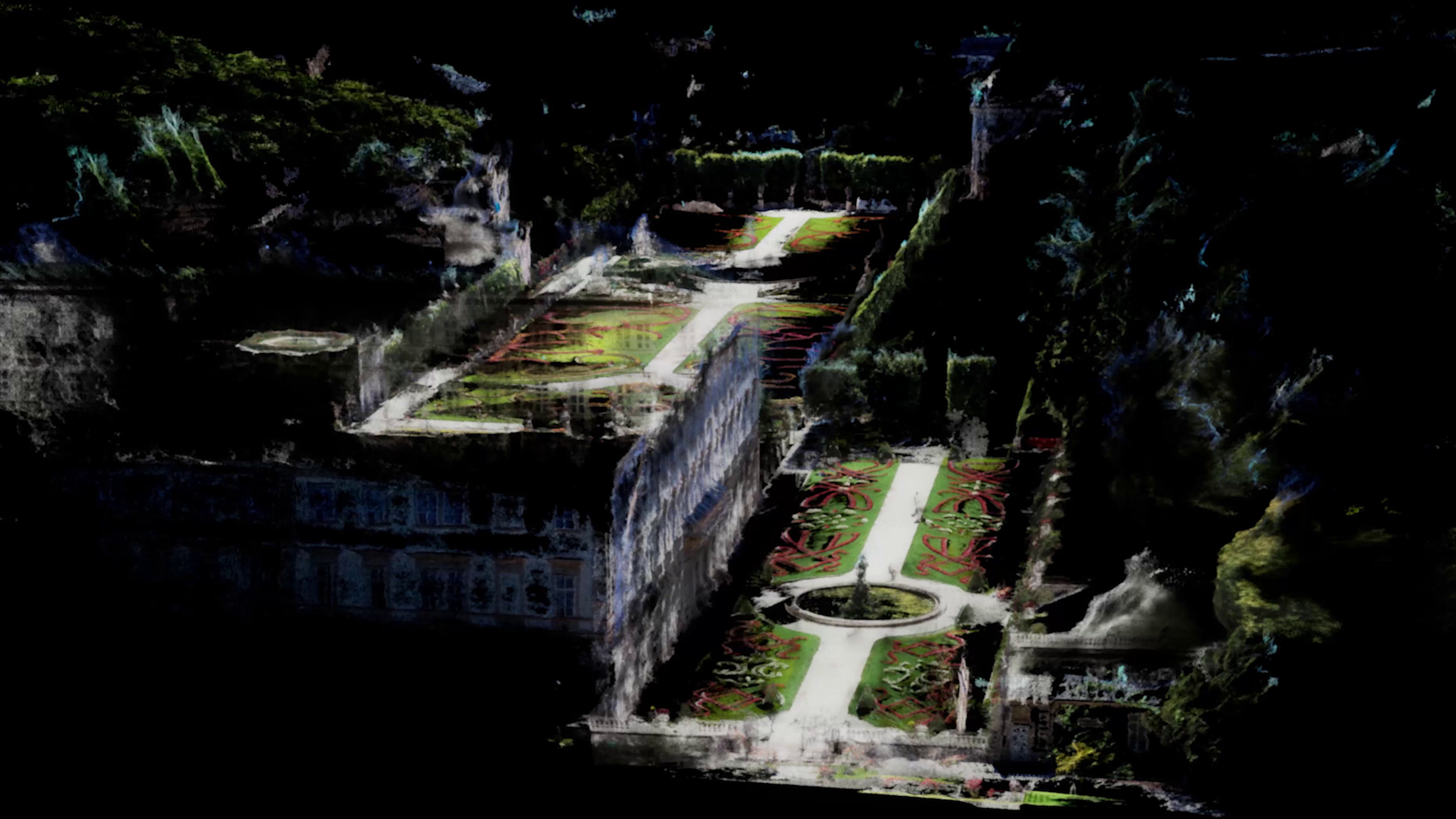
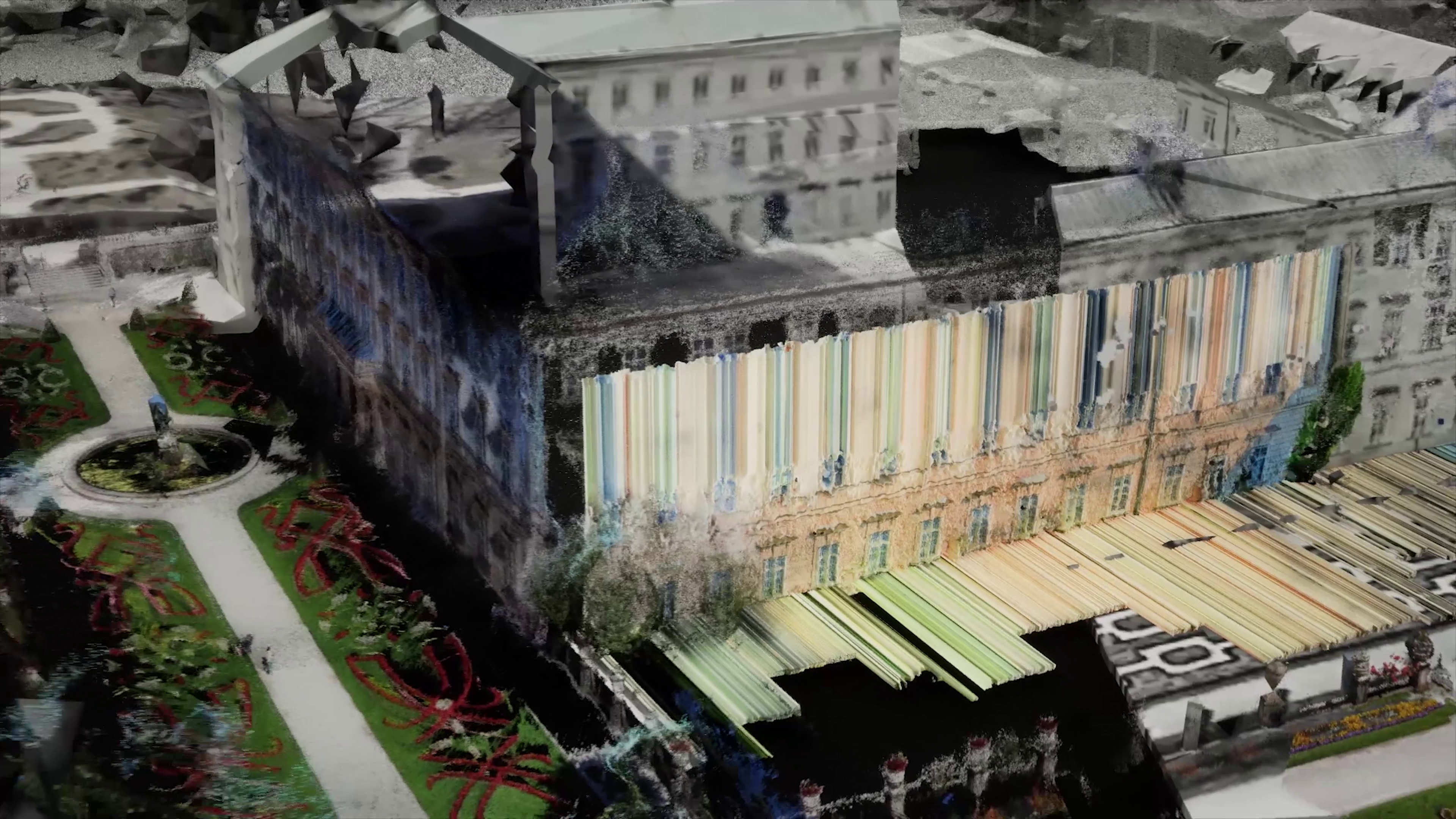
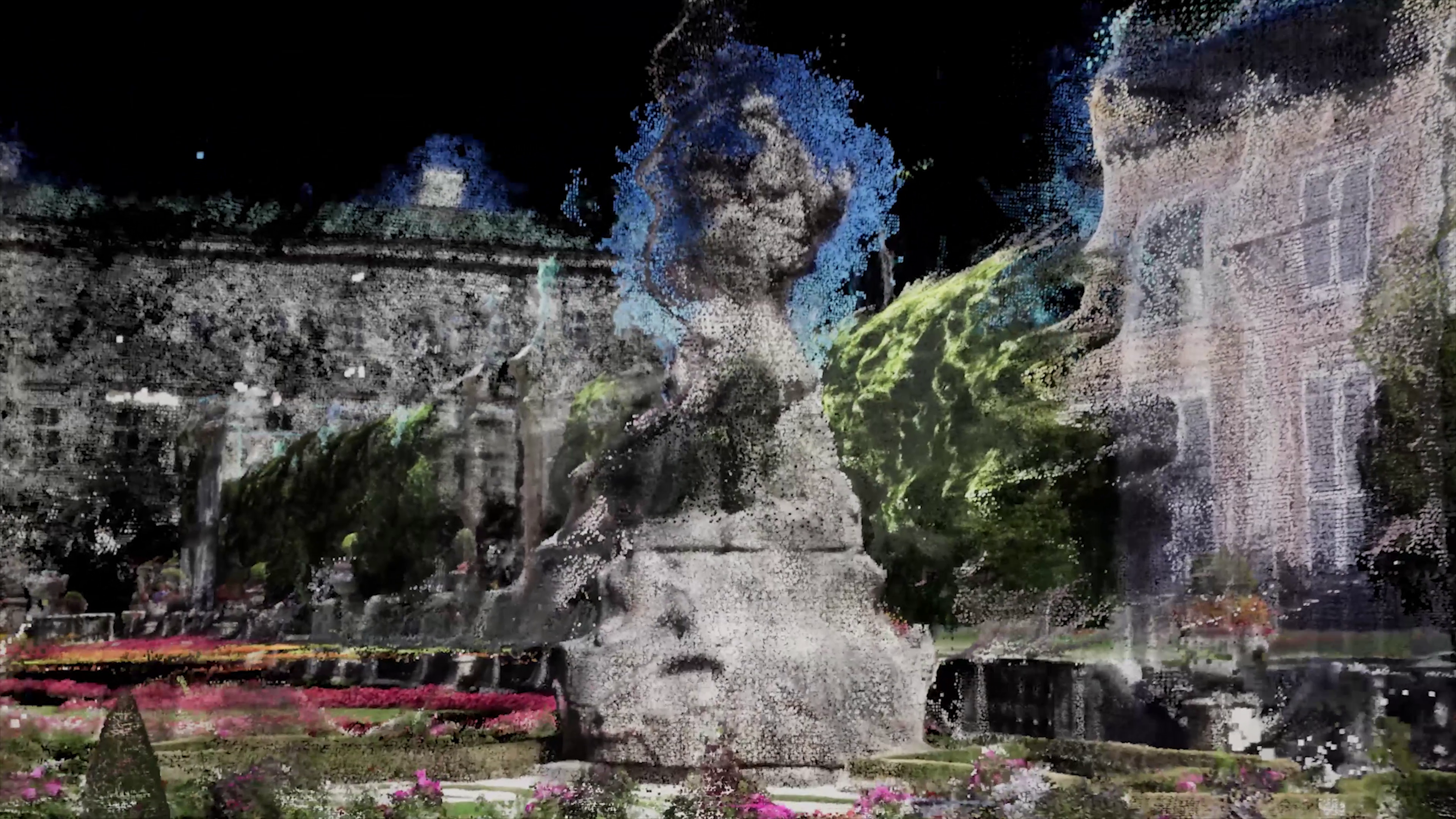
00:38 – 1:22 Pointclouds on a Google Earth mesh ( Point clouds were captured from a walking tour available on Youtube from the Mirabellgarten)
1:24 – 2:04 : Google Earth 3D walking mode
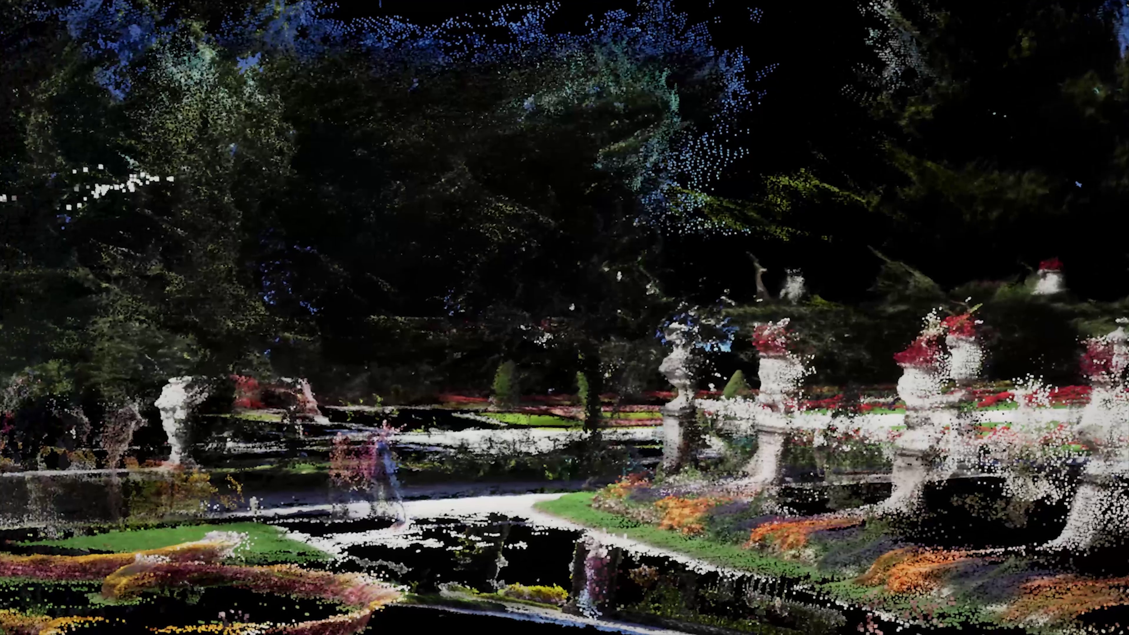
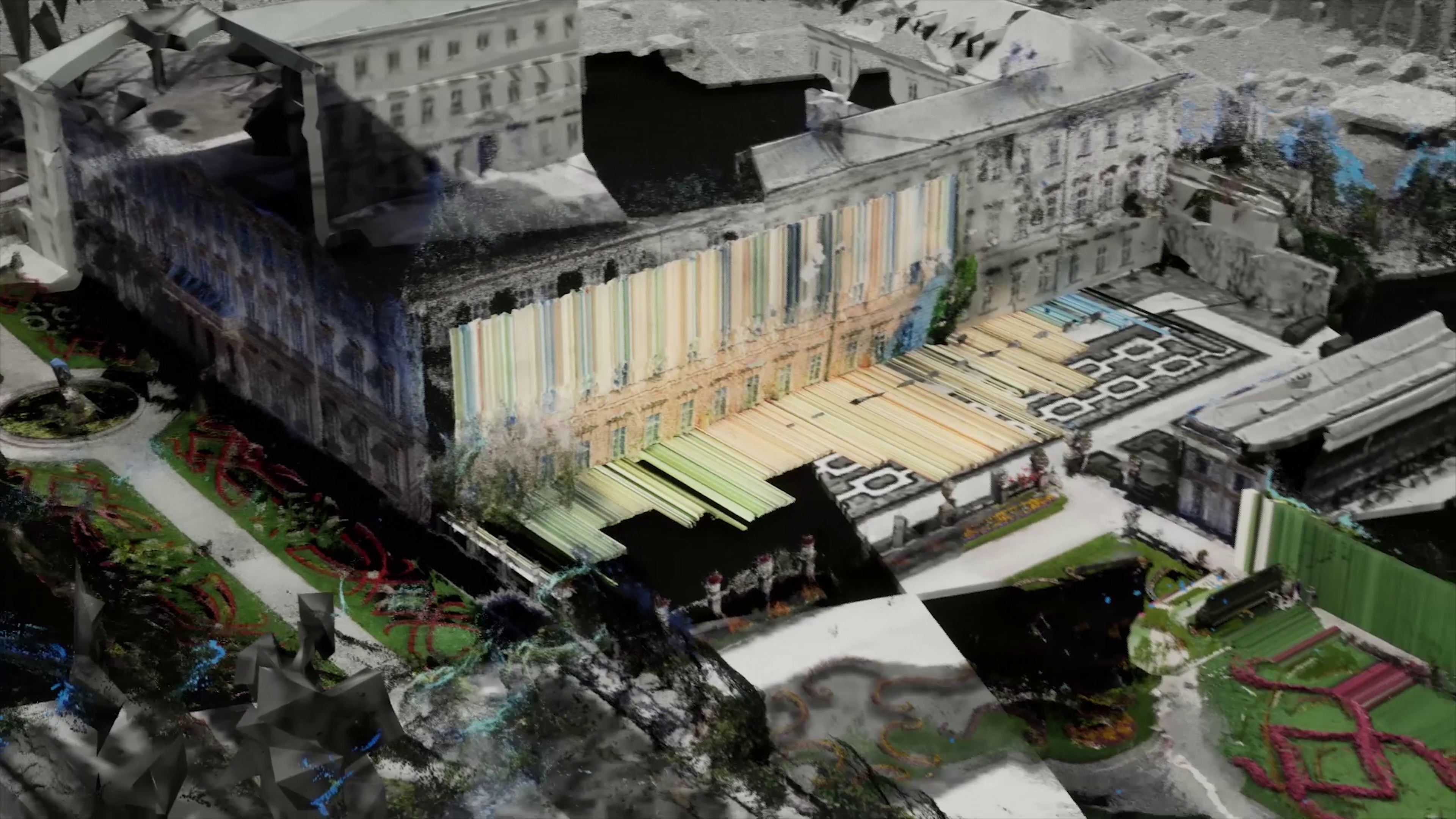
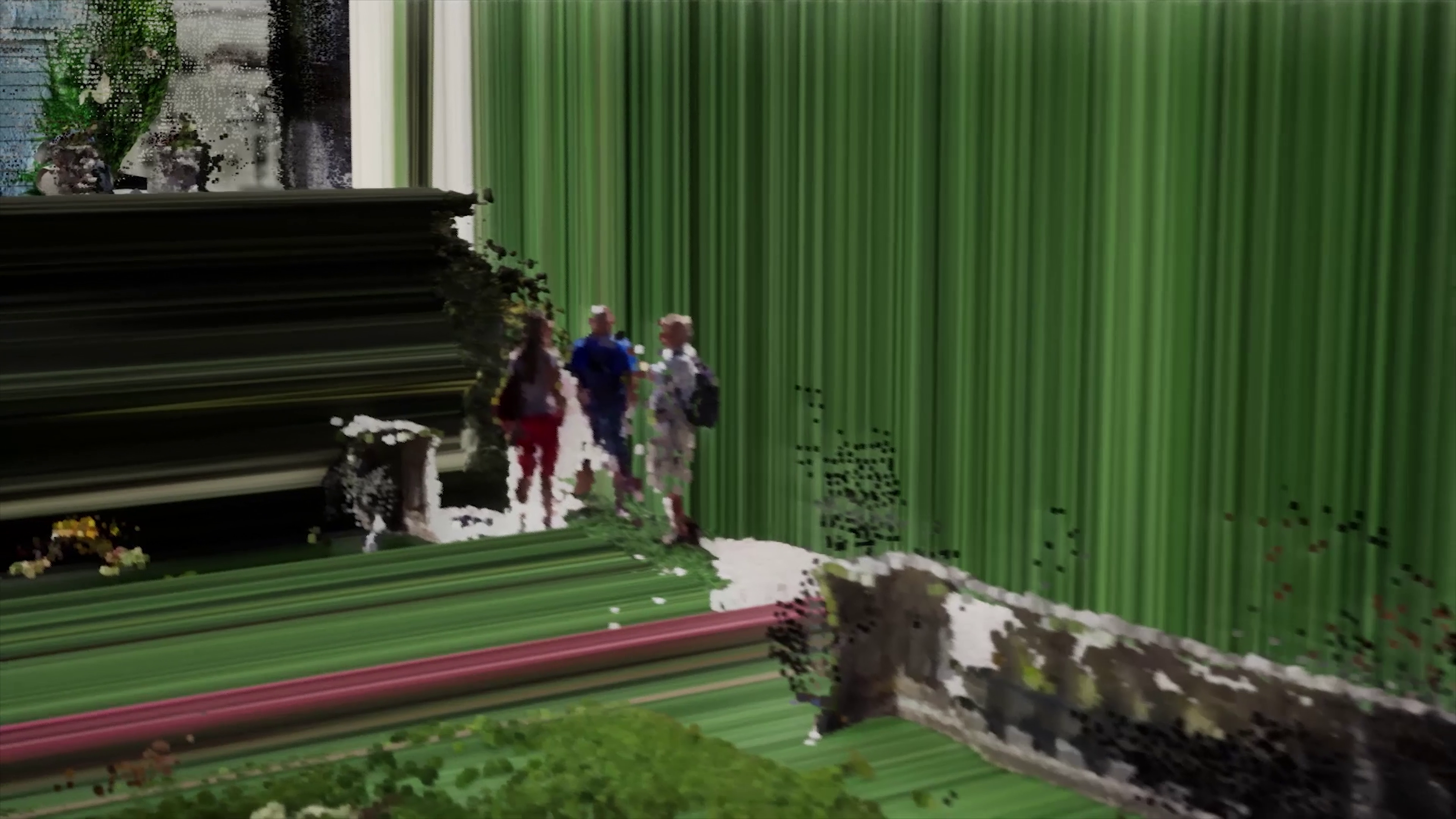
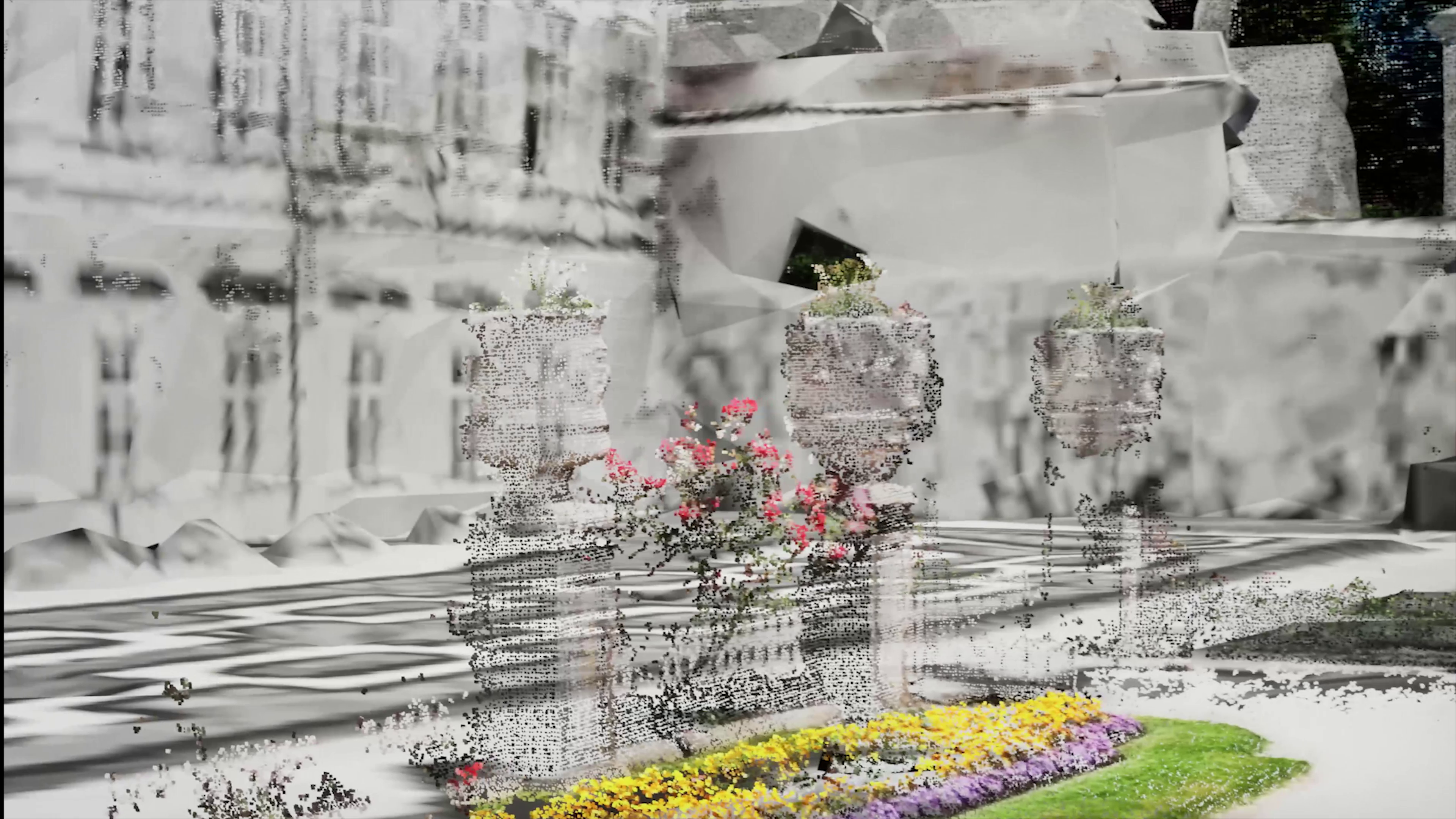
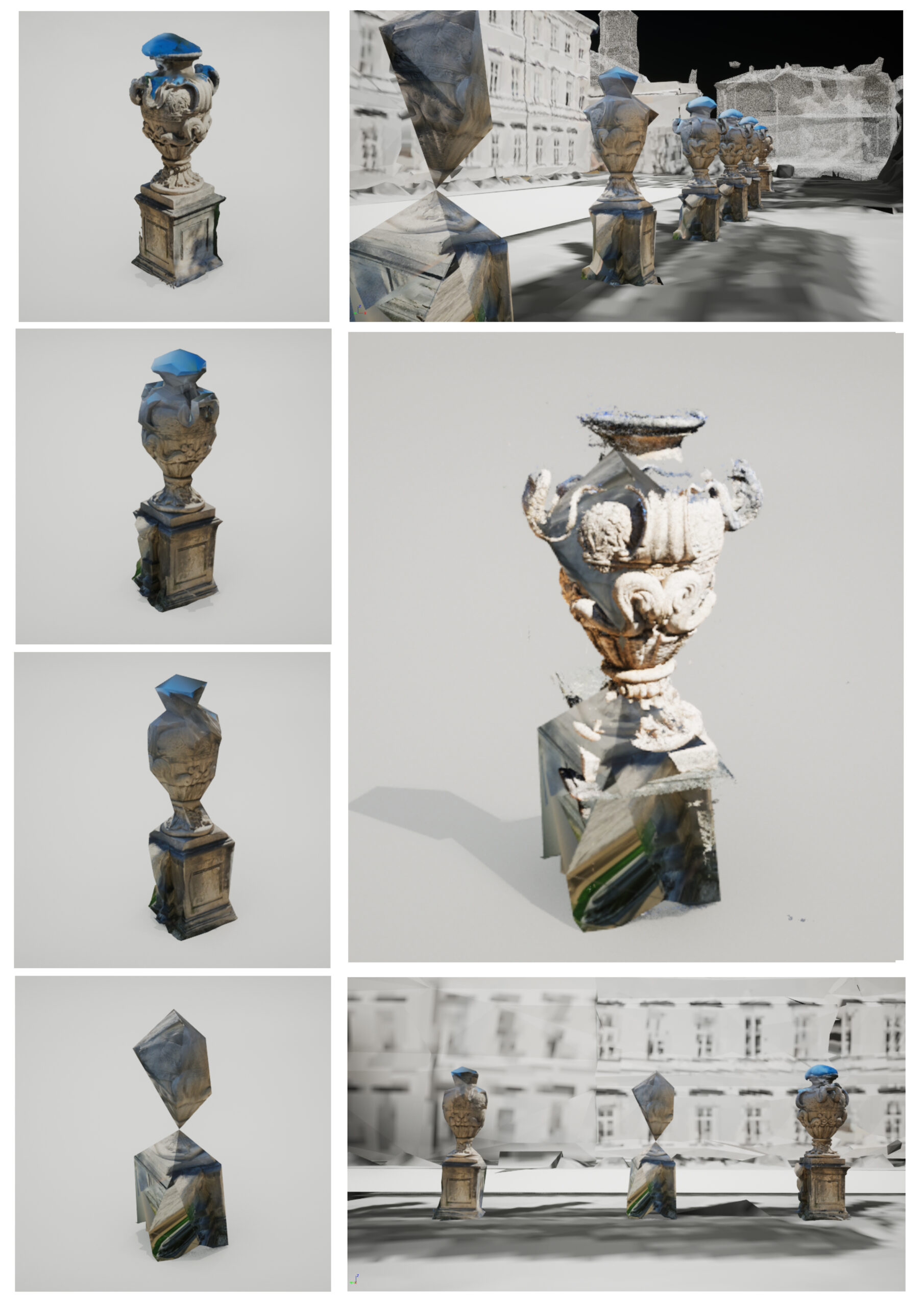
1:25 – 3:15 : Captured assets in different resolutions layered on the 3D scan on the Google Earth
3:18 – 4:06 : Google Earth 360 Photo walk mode
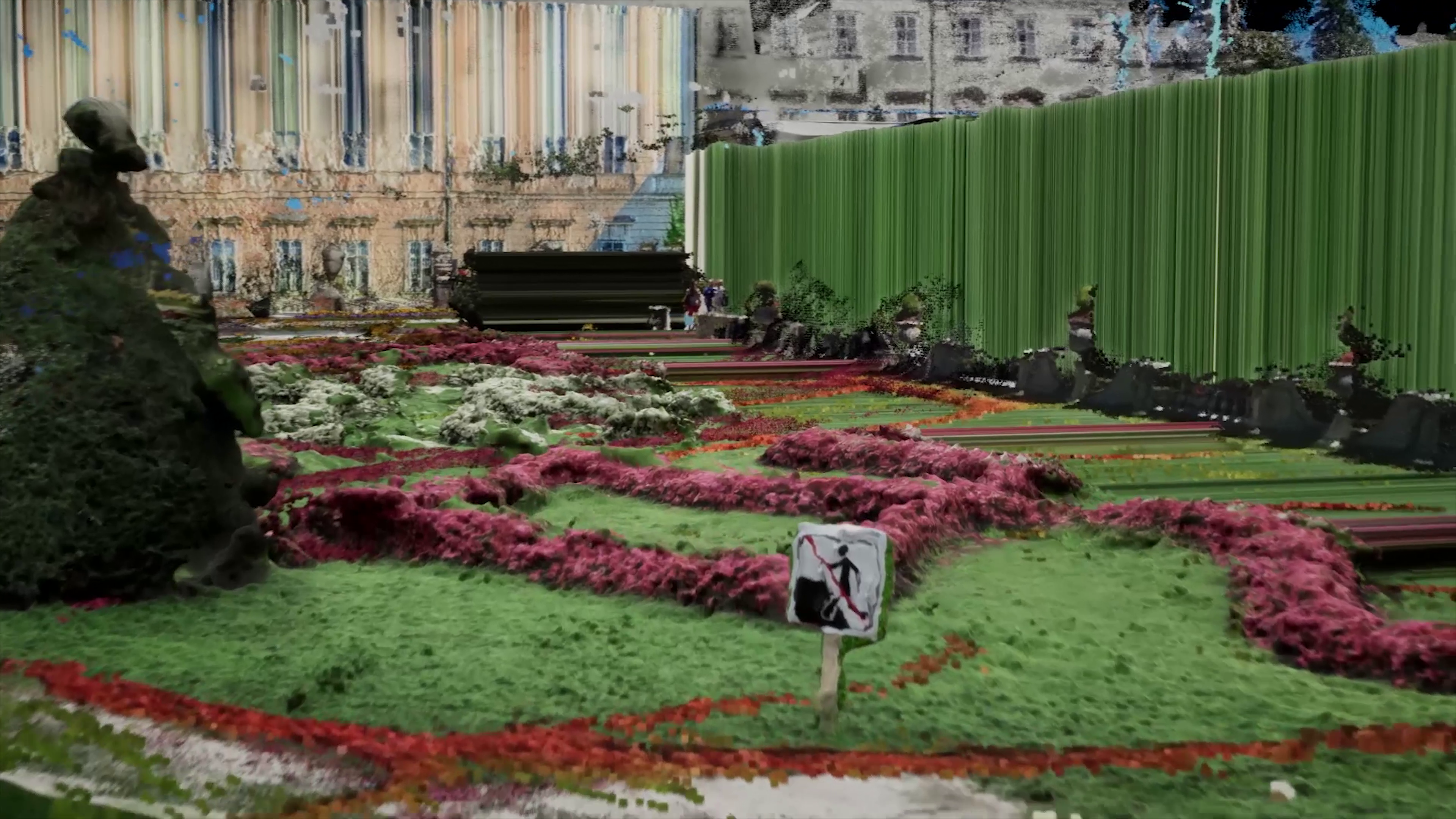
4:08 – 4:55 : Applying the glitch of the motion in 360Photos to the captured 3D assets on the 3D scan on the Google Earth Mesh.
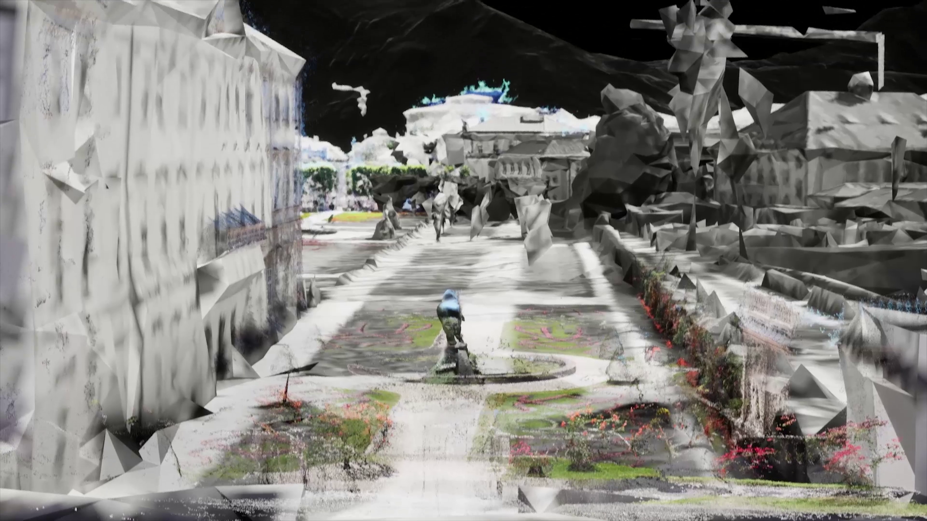
4:55 – 6:28 The combination of captured 3D scans from the garden and the scans from the YouTube walking tour.
Sounds: recorded from the Garden and the streets around it.
Thick-mapping the Mirabellgarten
By juxtaposing different modes of representation constructed by various mediations for our visual perception, this piece has tried to raise the question of what a “thick map” of the Mirabellgarden through contemporary technologies, could look like.
A brief intro to the definitions of a “Map” and a “Thick Map” based on an ongoing research essay called “Hyper cities” written by Todd Presner, David Shepard, and Yoh Jawano :“ Maps are graphical representations of a set of relations. They are visual arguments and stories; they make claims and harbor ideals, hopes, desires, biases, prejudices, and violence. They are always relational, in dialogue or in contact with someone or something. They may or may not attempt to reference, reflect,or represent an “external reality” (however one defines that),but they are fundamentally propositions, suffused with world-views, structuring epistemologies, and ways of seeing.
On its most basic level, “thick mapping” refers to the processes of collecting, aggregating, and visualizing ever more layers of geographic or place-specific data. Thick maps are sometimes called “deep maps” because they embody temporal and historical dynamics through a multiplicity of layered narratives, sources, and even representational practices. “
The Resolution Paranoia
Do we simply believe the narrative that the pixels and polygons tell us?
Is resolution associated with the level of reality we perceive? Do we always try to find ourselves and feel safe in the hands of millions of polygons or pixels by hiding the digital nature of our lies? Do we associate Hyperrealism with higher visual fidelity? Do we make things more believable, in other words, less representational with this tool called resolution?
These were some of the ongoing investigated questions and topics that were asked throughout the brief research phase and the experiment.
Why this baroque garden?
Politics of Beauty and Perfection
Designed gardens matter as a colonialism symbol that represents the constructed “beauty” and “Harmony” as opposed to the “un-attended” nature of things.The manifestation of control and power by extending its boundaries through taming and trimming nature as we please.
That very one true idea of beauty and symmetry through a one-perspective lens, as a means to emphasize the power structure and its necessity for moving towards the “ideal”.The garden’s idea of beauty relies largely on attention to detail, in other words, visual resolution. Every single flower and its position, in this case, every pixel counts!That is why MirabellGarten was chosen for this project as a familiar and eye-pleasing subject, to be unfolded by different observation means and re-seen through more contemporary means of survey.